Property Record
3577 Brainerd Rd, Chattanooga, TN 37411


NEARBY LISTINGS FOR SALE OR LEASE
Property Detail
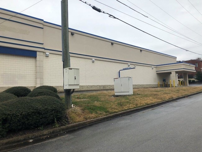
3577 Brainerd Rd
Chattanooga, TN-GA
The Exxon One Tract
157A-C-009
LT 1 REVISED PLAN FRANK STEELE ESTS PB 6 PG 43 REV 60-106
Medicalbuilding
Hamilton
X
Tennessee
47065C0363G
1
2024
1.43 AC
2024
Outlying Chattanooga
002900
Chattanooga
11,200 SF
DEMOGRAPHICS near 3577 Brainerd Rd
1 Mile
3 Mile
5 Mile
2024 Total Population
9,276
71,520
154,789
2029 Population
9,891
76,660
165,427
Pop Growth 2024-2029
+ 6.63%
+ 7.19%
+ 6.87%
Average Age
40
38
39
2024 Total Households
4,139
28,774
65,698
HH Growth 2024-2029
+ 6.74%
+ 7.32%
+ 7.14%
Median Household Inc
$51,514
$42,174
$46,297
Avg Household Size
2.20
2.40
2.20
2024 Avg HH Vehicles
2.00
2.00
2.00
Median Home Value
$231,488
$170,157
$184,977
Median Year Built
1957
1960
1968
Nearby Places
Map Layers
Map Styles
 Street
 Aerial
- Restaurants
- Banks
- Shops
- Fitness
- Groceries
PUBLIC TRANSPORTATION
AIRPORT
Lovell Field
DRIVE
WALK
Distance
Lovell Field
11 min
4.3 mi
Freight Ports
Georgia Ports - Savannah
DRIVE
WALK
Distance
Georgia Ports - Savannah
404 min
360.5 mi
SALE & LEASE HISTORY
LISTING DATE
SALE/LEASE

Sep 23, 2016
For Sale
Sep 23, 2016
For Sale
Oct 25, 2016
For Sale
Oct 25, 2016
For Sale
Jun 11, 2018
For Sale
Feb 07, 2019
For Lease
Aug 15, 2018
For Sale
Aug 13, 2018
For Sale
Aug 12, 2019
For Sale
Nearby Properties
Address
Land Use
TOTAL SIZE
Lot Size
Zoning
Address
Land Use
TOTAL SIZE
Lot Size
Zoning
832.10 AC
M1
Address
Land Use
TOTAL SIZE
Lot Size
Zoning
351,776 SF
17.70 AC
R4
Address
Land Use
TOTAL SIZE
Lot Size
Zoning
52,209 SF
3.43 AC
C2
Address
Land Use
TOTAL SIZE
Lot Size
Zoning
43,470 SF
1.26 AC
R4
Address
Land Use
TOTAL SIZE
Lot Size
Zoning
298,953 SF
16.26 AC
R3
Address
Land Use
TOTAL SIZE
Lot Size
Zoning
70,190 SF
6.05 AC
R4
Address
Land Use
TOTAL SIZE
Lot Size
Zoning
5.05 AC
R3
Address
Land Use
TOTAL SIZE
Lot Size
Zoning
790,207 SF
53.84 AC
C2
Address
Land Use
TOTAL SIZE
Lot Size
Zoning
5,888 SF
10.20 AC
R3
Address
Land Use
TOTAL SIZE
Lot Size
Zoning
209,168 SF
23.28 AC
C2
Address
Land Use
TOTAL SIZE
Lot Size
Zoning
67,735 SF
17.32 AC
M1
Address
Land Use
TOTAL SIZE
Lot Size
Zoning
138,674 SF
1.50 AC
C2
Address
Land Use
TOTAL SIZE
Lot Size
Zoning
6.32 AC
M1
Address
Land Use
TOTAL SIZE
Lot Size
Zoning
3.47 AC
R3
Address
Land Use
TOTAL SIZE
Lot Size
Zoning
373,949 SF
29.50 AC
Address
Land Use
TOTAL SIZE
Lot Size
Zoning
59,544 SF
4.10 AC
R3
Address
Land Use
TOTAL SIZE
Lot Size
Zoning
215,385 SF
14.10 AC
UR
Address
Land Use
TOTAL SIZE
Lot Size
Zoning
50.82 AC
C2
Address
Land Use
TOTAL SIZE
Lot Size
Zoning
151,314 SF
6.60 AC
Address
Land Use
TOTAL SIZE
Lot Size
Zoning
54,534 SF
4.51 AC
R3
Address
Land Use
TOTAL SIZE
Lot Size
Zoning
91,448 SF
R1
Address
Land Use
TOTAL SIZE
Lot Size
Zoning
55,289 SF
9.33 AC
C2
Address
Land Use
TOTAL SIZE
Lot Size
Zoning
29,010 SF
1.03 AC
R4
Address
Land Use
TOTAL SIZE
Lot Size
Zoning
41,872 SF
6.29 AC
Address
Land Use
TOTAL SIZE
Lot Size
Zoning
33.19 AC
M1
Address
Land Use
TOTAL SIZE
Lot Size
Zoning
41,872 SF
7.09 AC
C2
Address
Land Use
TOTAL SIZE
Lot Size
Zoning
71,458 SF
19.22 AC
M2
Address
Land Use
TOTAL SIZE
Lot Size
Zoning
35,740 SF
5.20 AC
R2
Address
Land Use
TOTAL SIZE
Lot Size
Zoning
759 SF
5 AC
Address
Land Use
TOTAL SIZE
Lot Size
Zoning
15,250 SF
10.57 AC
R4
The World's #1 Commercial Real Estate Marketplace
Connect with us
© 2025 CoStar Group
The information above has been obtained from sources believed reliable. While we do not doubt its accuracy we have not verified it and make no guarantee, warranty or representation about it. It is your responsibility to independently confirm its accuracy and completeness. Any projections, opinions, assumptions, or estimates used are for example only and do not represent the current or future performance of the property. The value of this transaction to you depends on tax and other factors which should be evaluated by your tax, financial, and legal advisors. You and your advisors should conduct a careful, independent investigation of the property to determine to your satisfaction the suitability of the property for your needs.